Survey with Emlid Flow and manage data with Emlid Flow 360
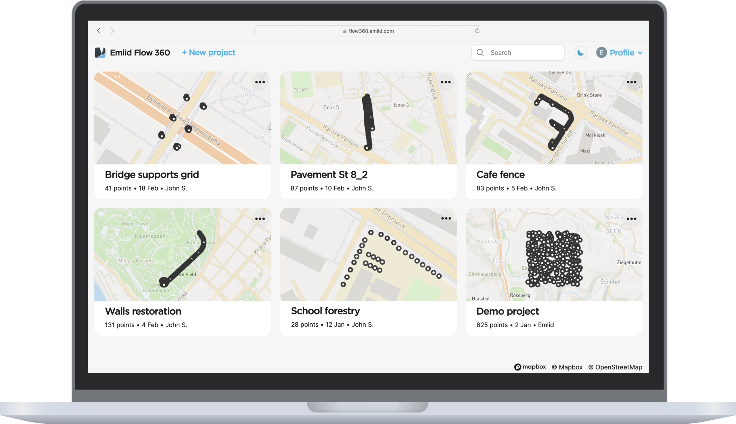
Emlid Flow is a mobile app for iOS and Android. It handles all the fieldwork— receiver settings, data collection, coding, linework, and stakeout. All survey data is in sync with the cloud-based service Emlid Flow 360, which allows you to access your projects from your browser and manage survey data and code lists.
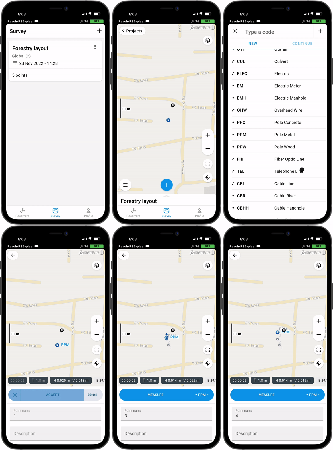
Collect and stake out points
To create a project for data collection, choose your coordinate system from the library or enter its parameters manually. The app supports thousands of coordinate systems, projections, grids, and geoids.
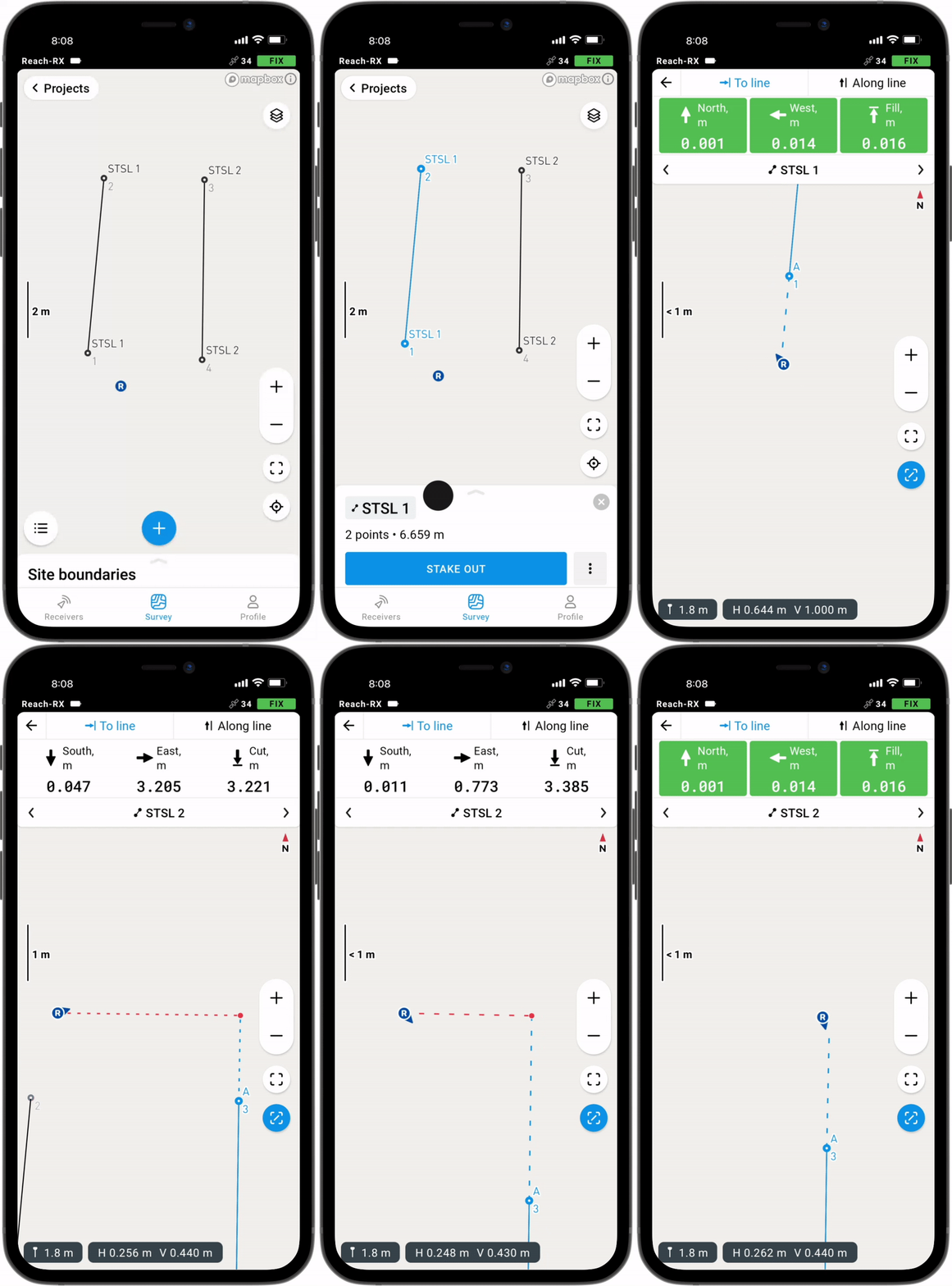
In the stakeout mode, the app displays East-North and straight-to-line distances and supports cut and fill indications. A close-up alignment mode helps you to center precisely above the point.
Coordinate systems based on
WGS84, NAD83,
GDA2020, and others
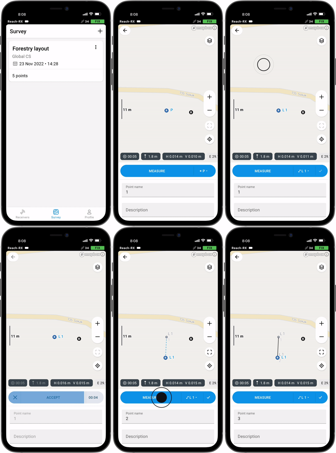
Collect and stake out lines
Create line work on the go, start new lines, and continue collecting existing ones.
You can either use predefined geometry types or a full-blown code library. The line work is displayed right away, so you can always see how your project is progressing.
During the stakeout, you can easily navigate to a line, and stake it out with an offset and with a chainage.
Coding
Quickly switch between different object codes as the whole library is at your fingertips at all times
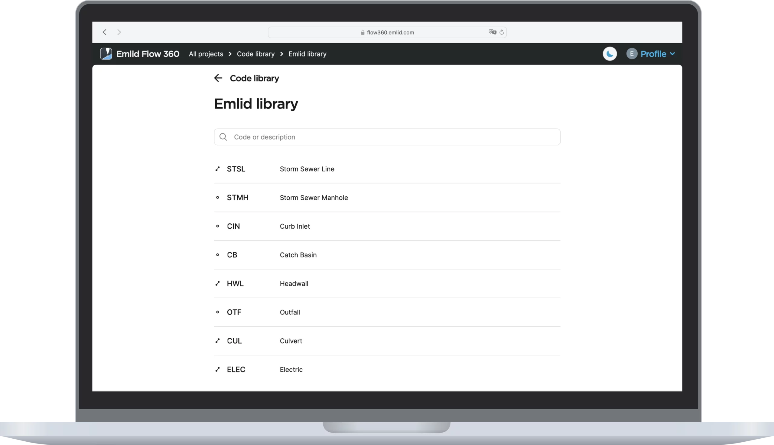
To measure and describe objects, upload your custom code library or use a built-in one with more than a hundred codes. Easily create new codes on the fly right in your survey project.
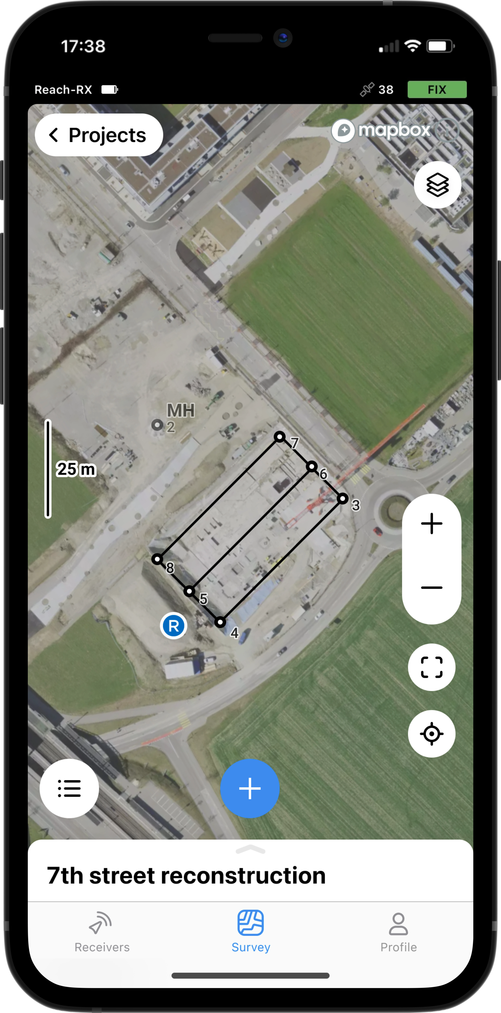
Work with satellite maps or any WMS source
Our responsive project view supports satellite imagery, as well as your own custom background map sources.
Manage your projects in the cloud
The Emlid Flow app is synchronized with the Emlid Flow 360 service. This allows you to create and access survey projects, manage coordinate systems, and export and import data using both the mobile app and the cloud service.
Export and import formats
CSV, DXF, and Shapefile
Manage your code libraries
Import your code library to Emlid Flow 360, and it is immediately available for your projects inside the Emlid Flow mobile app. No need to check if the latest version is on the collector, as it all syncs automatically.
Export and import formats
CSV, DXF, and Shapefile
Input and output corrections
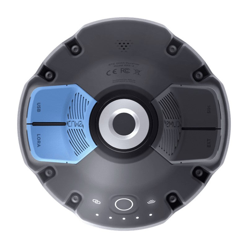
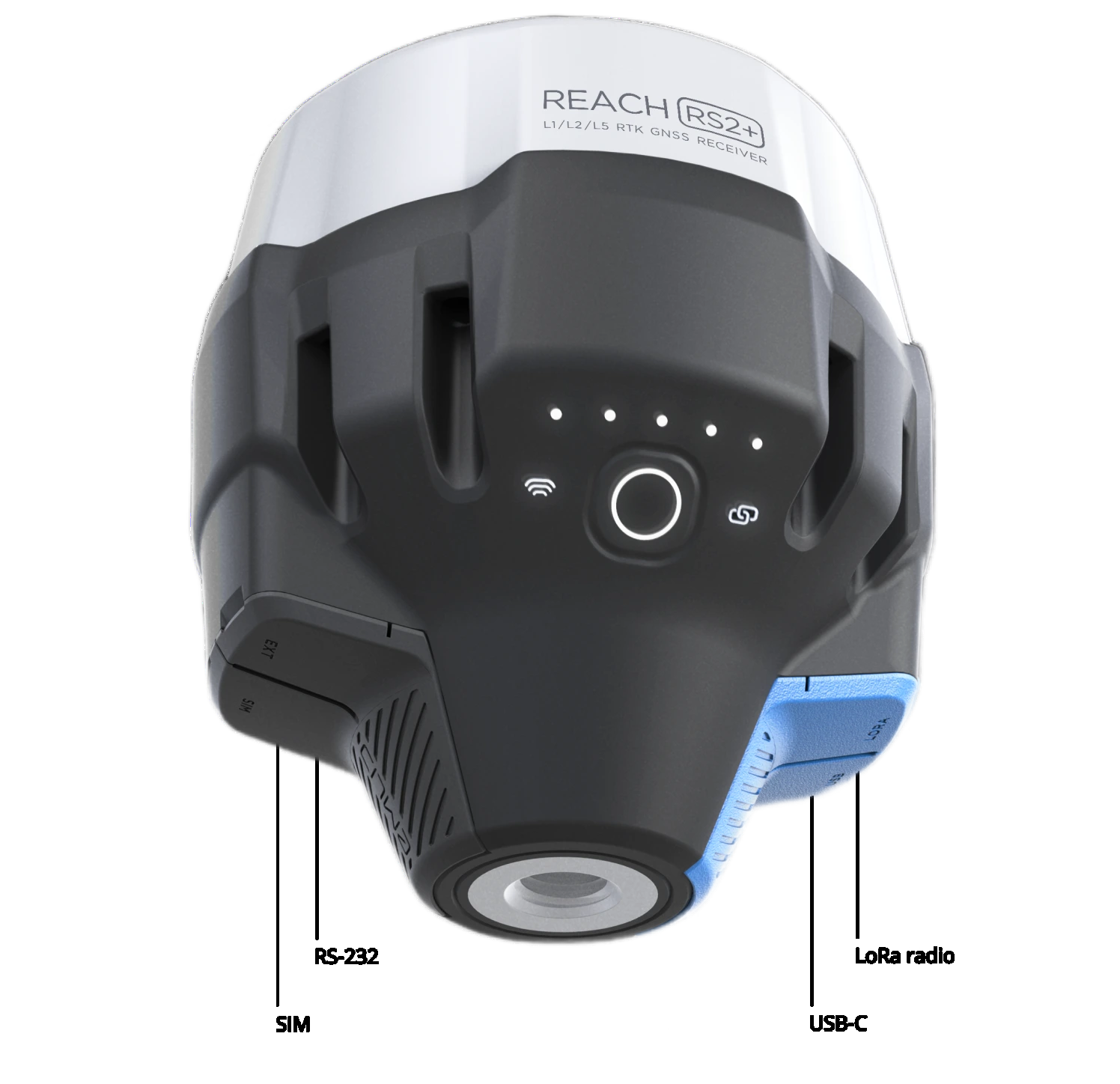
TCP, LoRa, Bluetooth, RS-232, NTRIP
Position streaming
RS-232, TCP, Bluetooth
Specification
| Mechanical | Electrical | Positioning |
|---|---|---|
| Dimensions: 126 x 126 x 142 mm | Autonomy: 16 hrs as LTE RTK rover,22 hrs logging | Static: H: 4 mm + 0.5ppm V: 8mm + 1ppm |
| Weight: 950 g | Battery: LiFePO4 6400 mAh, 6.4 V | PPK: H: 5 mm + 0.5 ppm V: 10 mm + 1 ppm |
| Operating tº: -20 to +65 ºC | External power input: 6–40 V | RTK: H: 7 mm + 1 ppm V: 1 mm + 1 ppm | Ingress protection: IP67 | Charging: USB Type-C 5 V, 2 A | Convergence time: ~5 s typically |
| Certification: FCC, CE | ||
| Connectivity | Data | GNSS |
| Lora Radio Frequency range: 868/915 MHz Power: 0,1 W Distance: Up to 8 km |
Corrections: NTRIP, RTCM3 | Signal tracked: GPS/QZSS L1C/A, L2C,GLONASS L1OF, L2OF,BeiDou B1I,B2I,Galileo E1B/C, E5b |
| LTE modem Regions: Global Bands: FDD-LTE: 1,2,3,4,5,7,8, 12, 13, 18, 19, 20,26, 28, 66 TD-LTE: 38,40,41 UMTS (WCDMA/FDD):1,3,2,4,5,6,8,19 Quad-band, 850/1900,900/1800 MHz SIM card: Nano-SIM |
Position output: NMEA, LLH/XYZ | Number of channels: 184 |
| Wi-Fi: 802.11 b/g/n | Data logging: RINEX | Update rate: 5 Hz |
| Bluetooth: Bluetooth | ||
| Ports: RS-232, USB Type-C |
Recently viewed
You may also like
- Wird in einem neuen Fenster geöffnet
