


Description
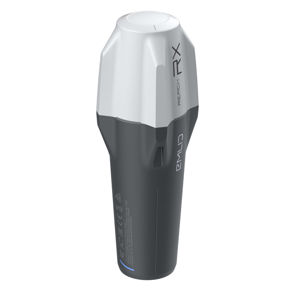
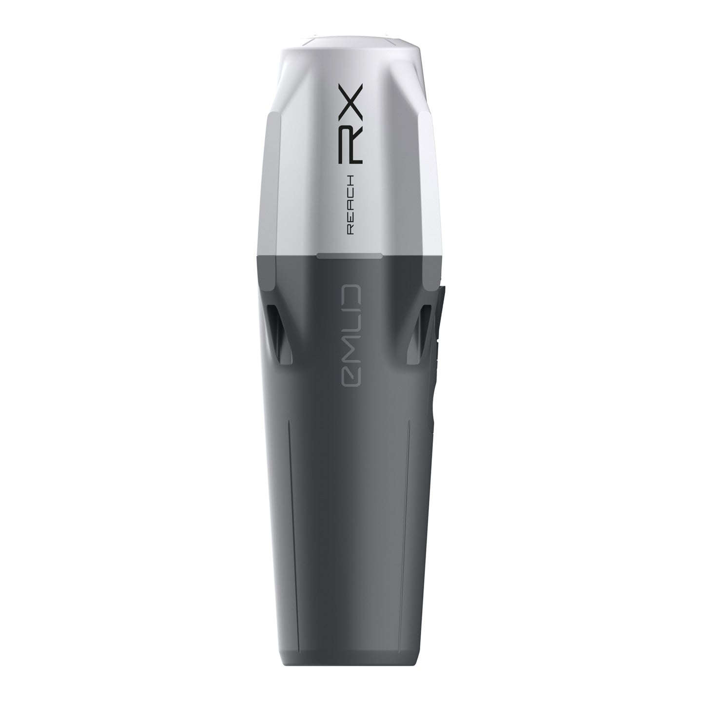
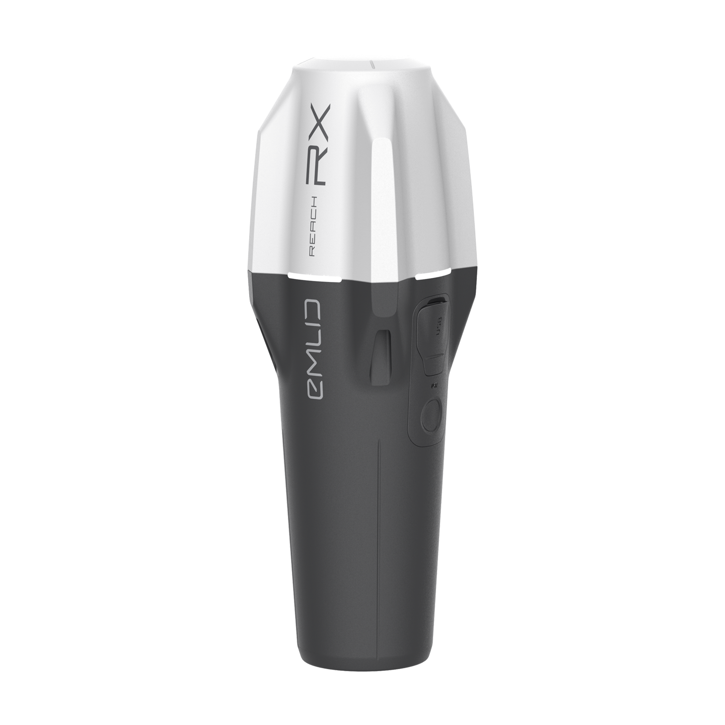
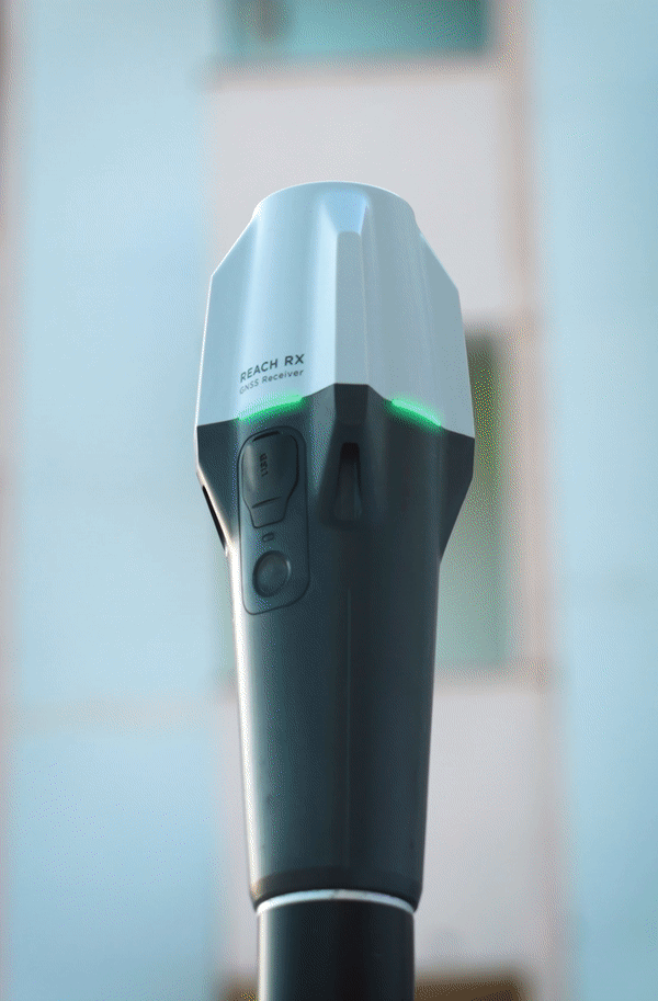
The new Reach RX is a pocket-sized, lightweight (250 g) rover RTK receiver that is able to make measurements with centimeter accuracy and works with network corrections (NTRIP). It also comes with the free ReachView 3 app for IOS and Android.
The RX uses Bluetooth Low Energy (BLE), allowing it to connect to a smartphone or tablet in a few seconds. It is easy to set up and apart from NTRIP setup, it requires No configuration. One can start surveying immediately.
It is one of the only products of its kind that is able to obtain fixed-point solutions within 5 seconds, even in difficult conditions.

Compact and rugged
250 g
172 mm x 51 mm x 51 mm
Weighs like a TV remote controller and can be carried in your pocket.
-20 to +65 °C (-4 to 149 °F)
We extensively tested Reach RX in conditions
that simulate the coldest winters and hottest
summers.
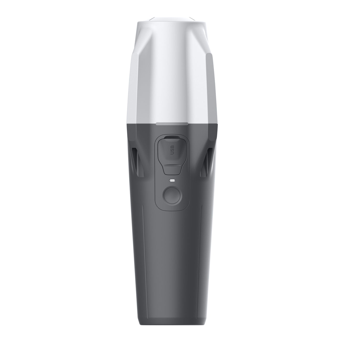
IP68
RX is waterproof up to a 1.5 m depth. The connector is sealed and protected from water and dust with a silicone plug.
Reliable battery
16 hours of work
2 days of work for less than 3 hours of charging. You can charge on-the-go from any USB port or power bank.
Li-Ion battery
An industrial battery that handles both high and low temperatures well.
2000+ cycles
of charging and discharging while maintaining original capacity.
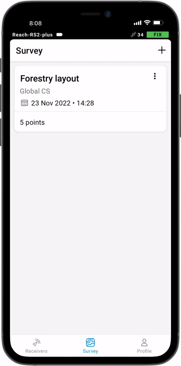
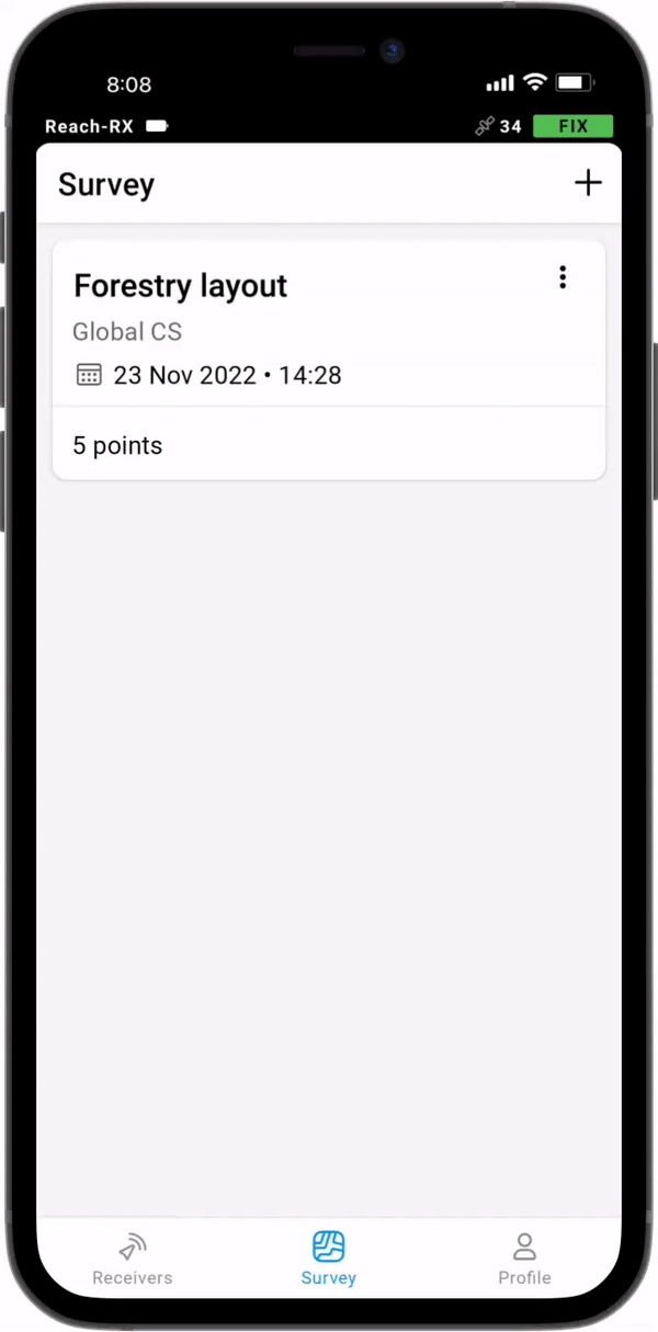
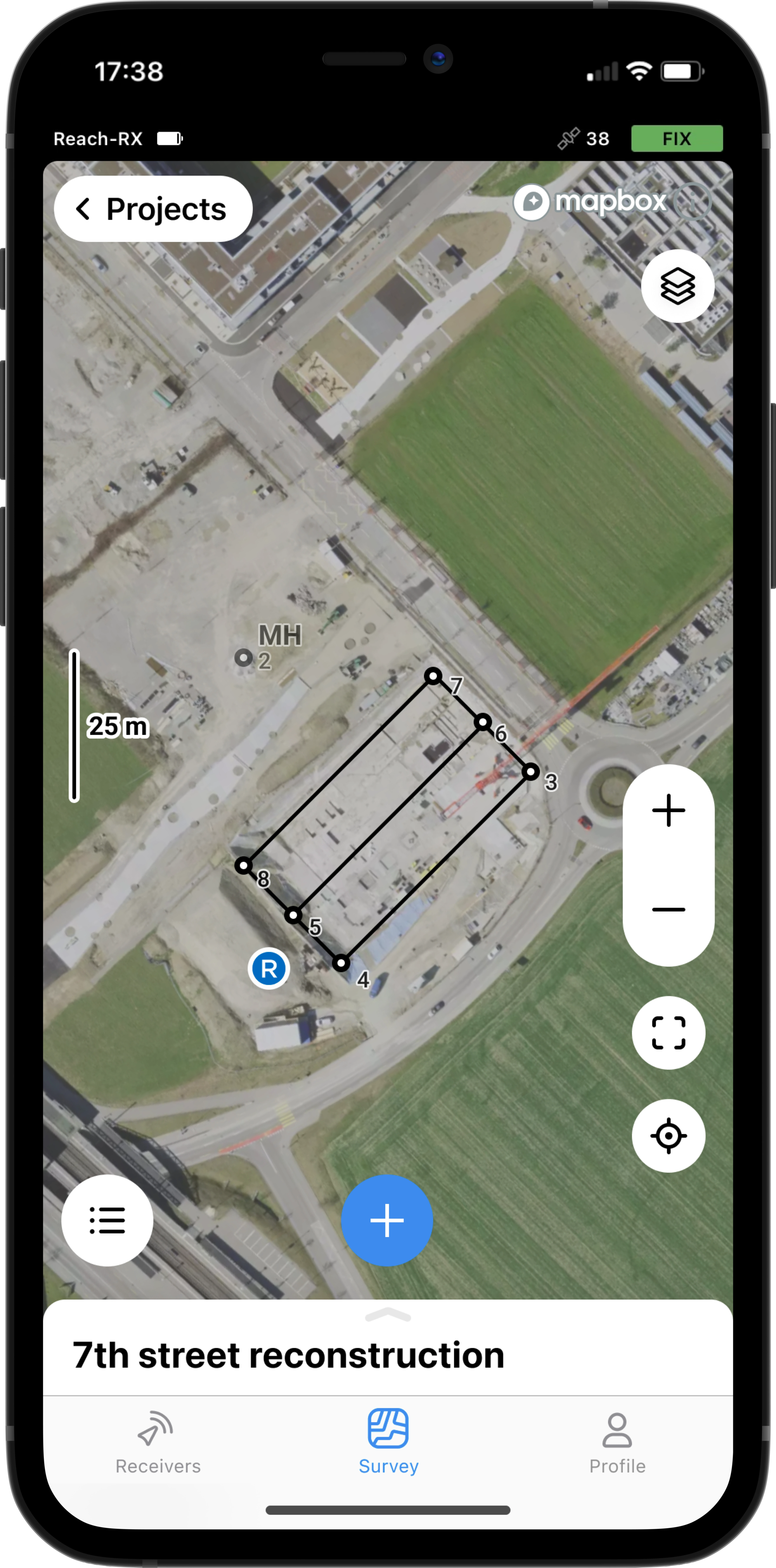
Survey with Emlid Flow and manage data with Emlid Flow 360
Emlid Flow is a mobile app for iOS and Android. It handles all the fieldwork— receiver settings, data collection, coding, linework, and stakeout. All survey data is in sync with the cloud-based service Emlid Flow 360, which allows you to access your projects from your browser and manage survey data and code lists.
Collect and stake out points
To create a project for data collection, choose your coordinate system from the library or enter its parameters manually. The app supports thousands of coordinate systems, projections, grids, and geoids.
In the stakeout mode, the app displays East-North and straight-to-line distances and supports cut and fill indications. A close-up alignment mode helps you to center precisely above the point.
Coordinate systems based on
WGS84, NAD83,
GDA2020, and others
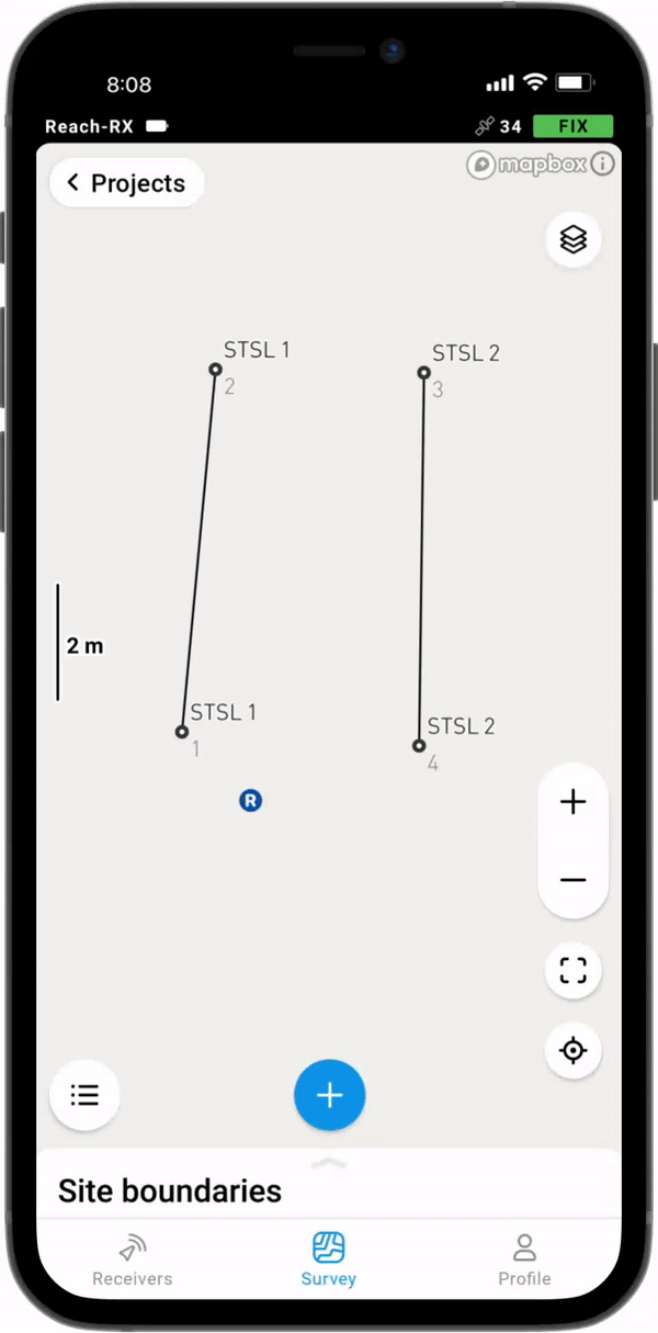
Collect and stake out lines
Create line work on the go, start new lines, and continue collecting existing ones.
You can either use predefined geometry types or a full-blown code library. The line work is displayed right away, so you can always see how your project is progressing.
During the stakeout, you can easily navigate to a line, and stake it out with an offset and with a chainage.
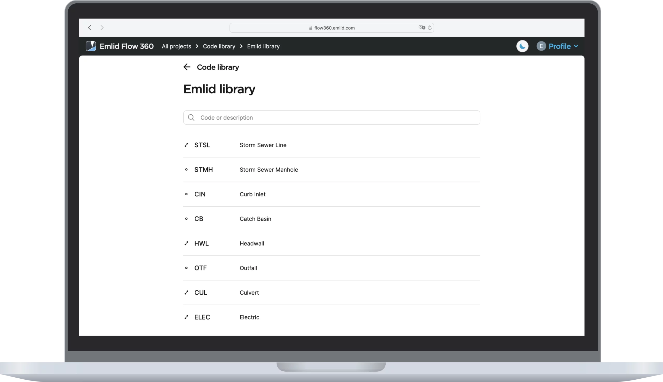
Coding
Quickly switch between different object codes as the whole library is at your fingertips at all times
To measure and describe objects, upload your custom code library or use a built-in one with more than a hundred codes. Easily create new codes on the fly right in your survey project.
Work with satellite maps or any WMS source
Our responsive project view supports satellite imagery, as well as your own custom background map sources.
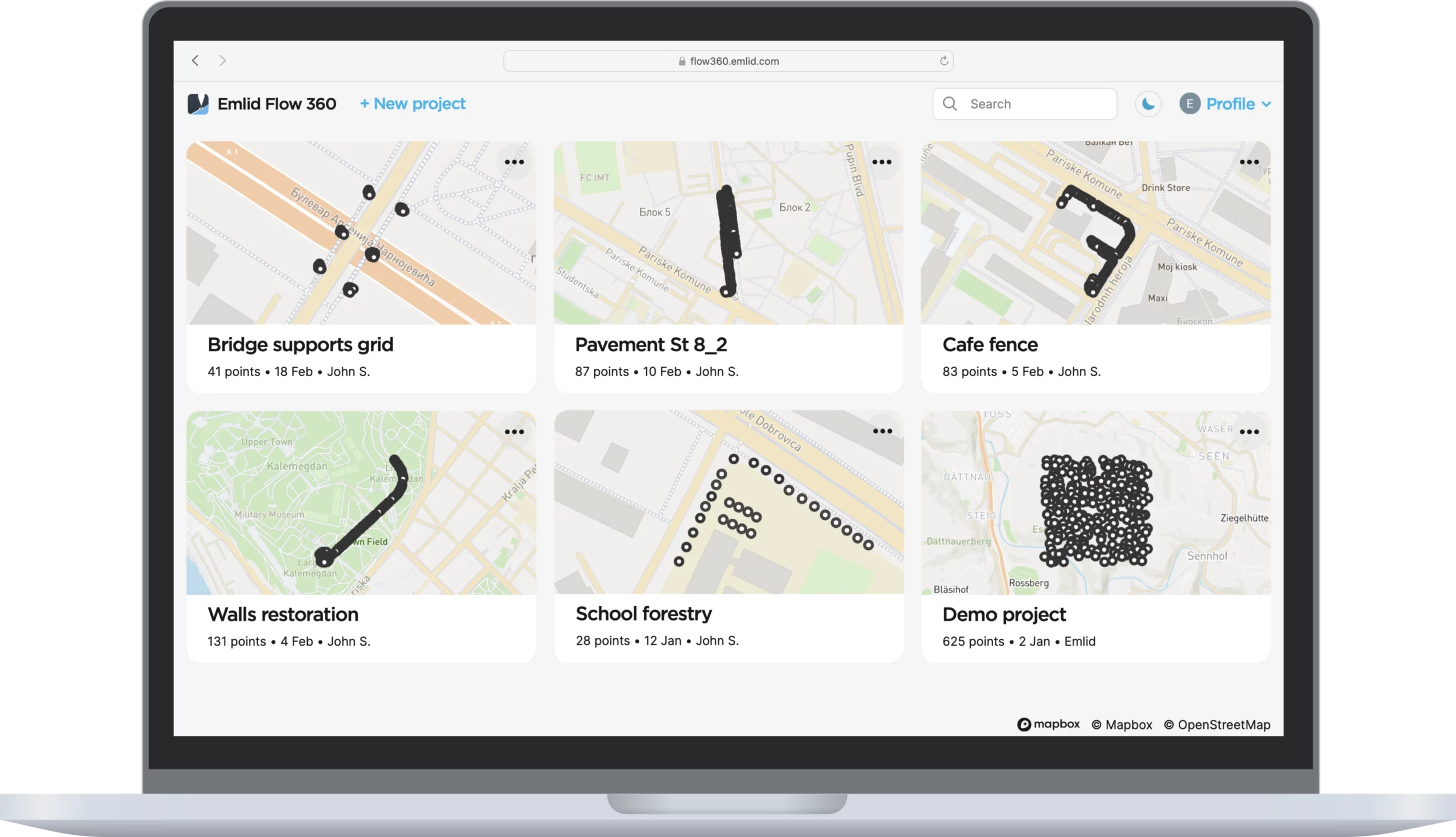
Manage your projects in the cloud
The Emlid Flow app is synchronized with the Emlid Flow 360 service. This allows you to create and access survey projects, manage coordinate systems, and export and import data using both the mobile app and the cloud service.
Export and import formats
CSV, DXF, and Shapefile
Manage your code libraries
Import your code library to Emlid Flow 360, and it is immediately available for your projects inside the Emlid Flow mobile app. No need to check if the latest version is on the collector, as it all syncs automatically.
Export and import formats
CSV, DXF, and Shapefile
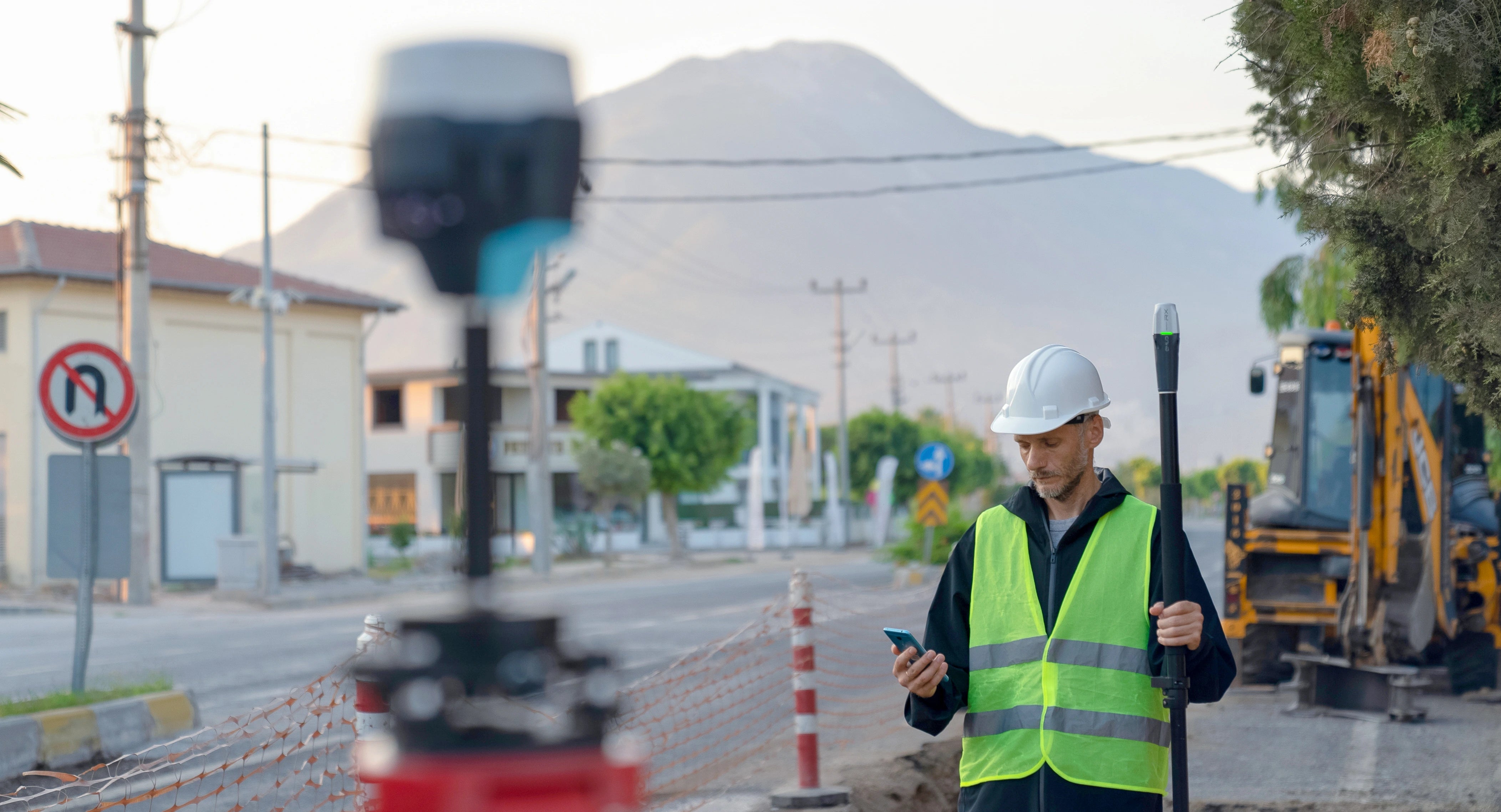
Foldable survey pole
Our foldable survey pole is perfect for smooth data collection with Reach RX. You can carry this combo anywhere and shoot points anytime a great addition to your toolbox on the survey site.
Deploy Reach RX for teamwork
If you have a big project team, Reach RX is a perfect fit. With no configuration to get wrong, your can be sure your team is collecting reliable data
Specification
| Mechanical | Electrical | Positioning |
|---|---|---|
| Dimensions: 172 x 51 x 51 mm | Autonomy: Up to 16 hrs | RTK: H: 7 mm + 1 ppm V: 14 mm + 1 ppm |
| Mount: 5/8”-11 UNC | Battery: Li-Ion 5200 mAh,3.6V, 18.72 Wh | Convergence time: ~5 s typically |
| Weight: 250 g (8.81 oz) | Charging: USB Type-C, 5V 2A | |
| Operating tº: -20 to +65 ºC (-4 a 149 °F) | Certification: FCC, CE, IC | |
| Ingress protection: IP68 (maximum depth of 1.5 meters up to 30 minutes) | ||
| Connectivity | Data | GNSS |
| Communication interface: Bluetooth 4.2 | Input data format: RTCM3 | Signal tracked: GPS/QZSS L1C/A, L2C,GLONASS L1OF, L2OF,BeiDou B1I, B2I,Galileo E1B/C, E5b |
| Ports: USB Type-C | Input data protocol: NTRIP | Number of channels: 184 |
| Position data format: NMEA | Update rate: 5 Hz |
Recently viewed
You may also like
- Opens in a new window.